Verona to Hwy PD

Trail Difficulty: Easy to Moderate
Length Hiked: 3 miles one way from the Ice Age Junction Area Trailhead to the Military Ridge Trail Trailhead
Unusual Features: Major Grassland area
Hike Description:  I hiked south from the Ice Age Junction Area Trailhead. The trail goes through a big grassland area on top of a hill.  Then the trail goes down through some woods and comes out near the Reddan Soccer Complex.  You hike through the grasslands next to the soccer fields until you reach Cross Country Road.  Once you cross the Road, you are in Badger Prairie County Park.  You hike up a hill through more grasslands towards a cylinder styled water tower.  On the other side of the tower you reach a Thru Hiker Campsite, Picnic Shelter and Rest Rooms.  Down hill from that you join a paved bike path that goes under Main Street using a tunnel. Shortly after that you reach the Military Ridge Trail parking lot.  I hopped on my bike and pedaled back to the Ice Age Junction Area Trailhead using a paved bike trail that is to the east of the segment I just hiked.
Date(s) Hiked: March, 2012 by myself and June, 2016 with the Dane County HikeAthon
Tman’s Additional Comment: Nice Bike and Hike opportunity because the paved bike trail brings you back to the trailhead. In 2017, a trail bridge will be constructed for both bicycles and the Ice Age Trail over Hwy PD.  So, will change the area around Hwy PD.
Food Near the Trail: Culver’s, Pizza Ranch, And Dairy Queen in Verona.
Food and Brew: Mr Brews Taphouse in Verona
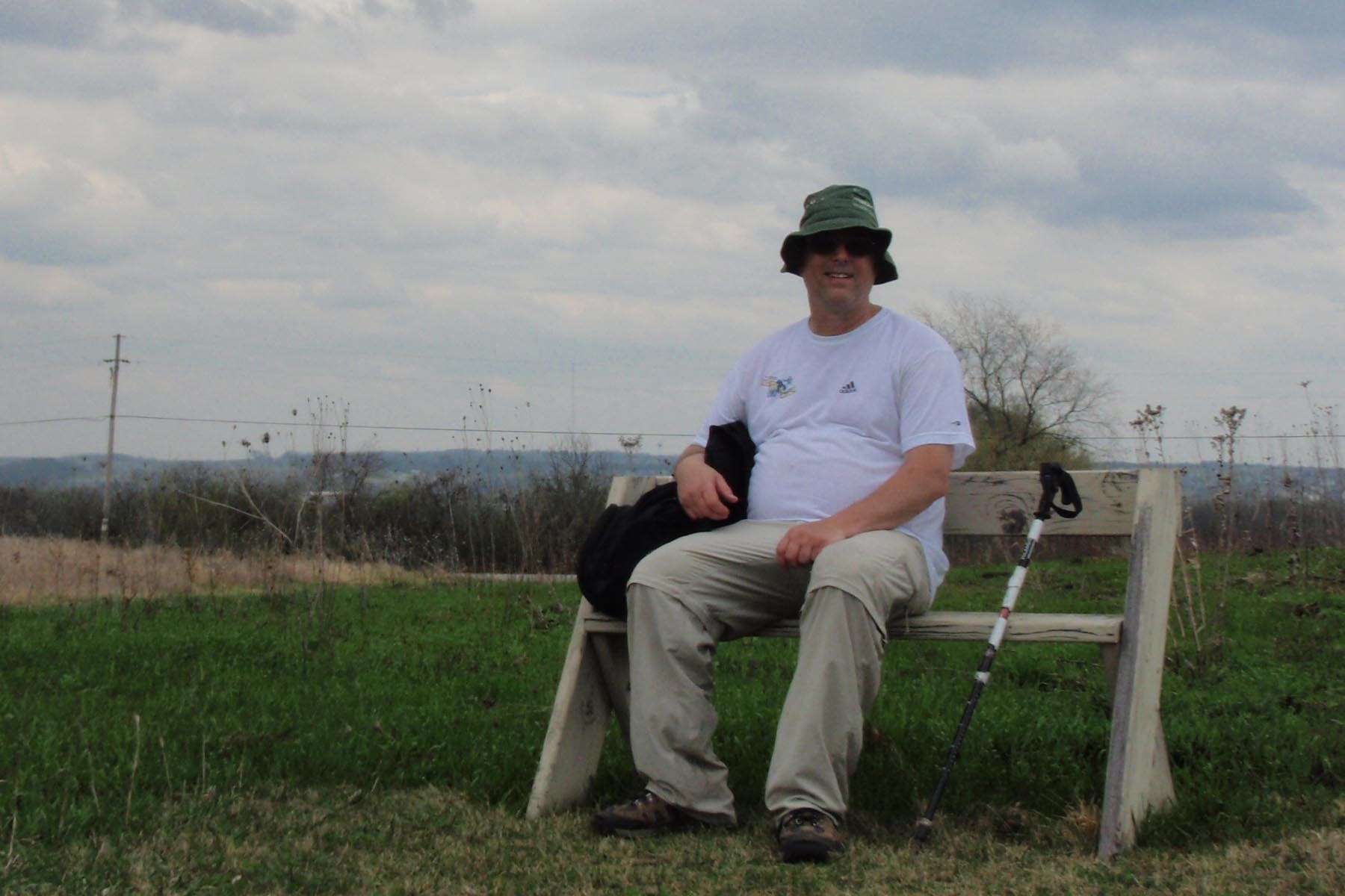
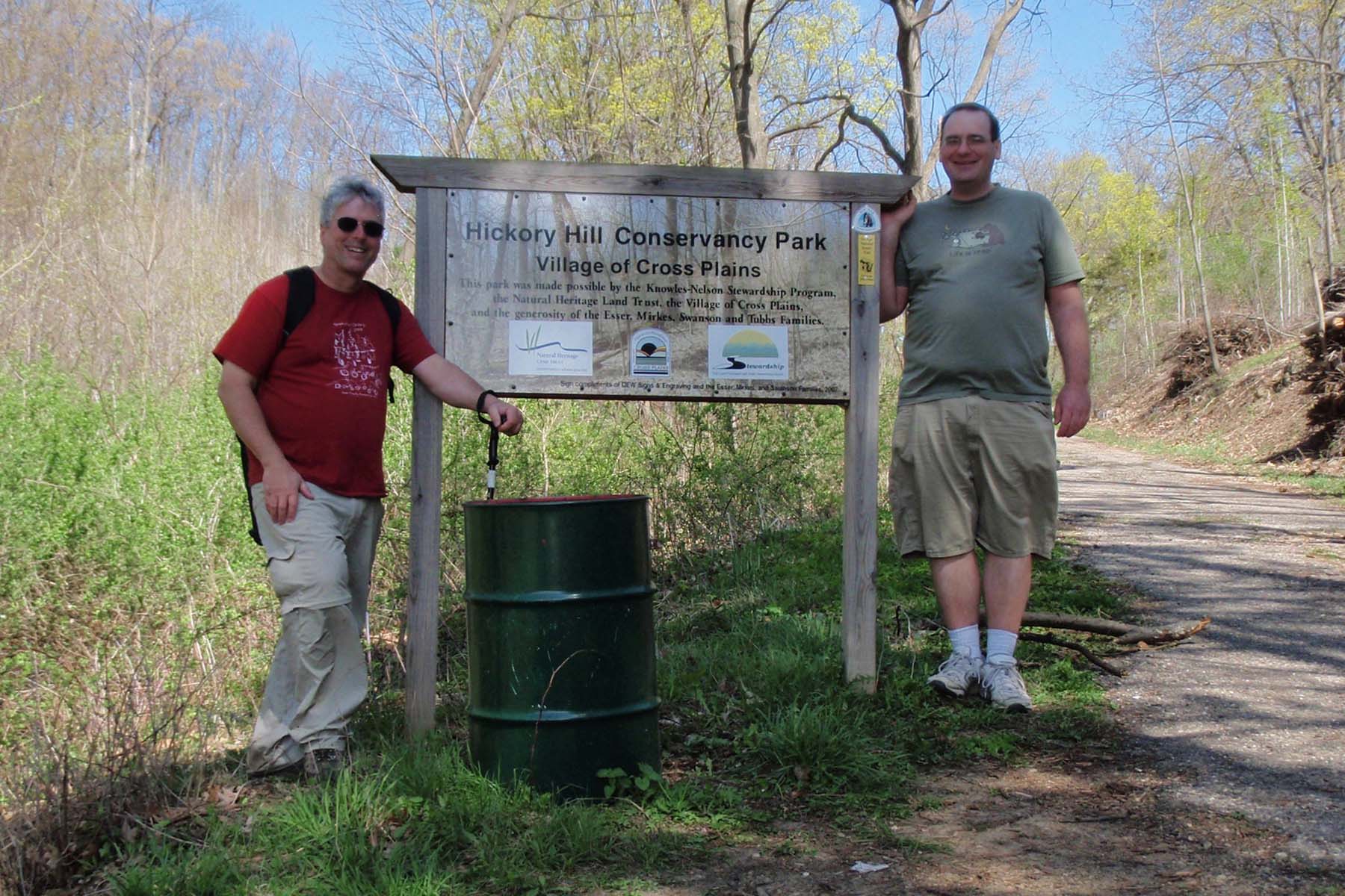
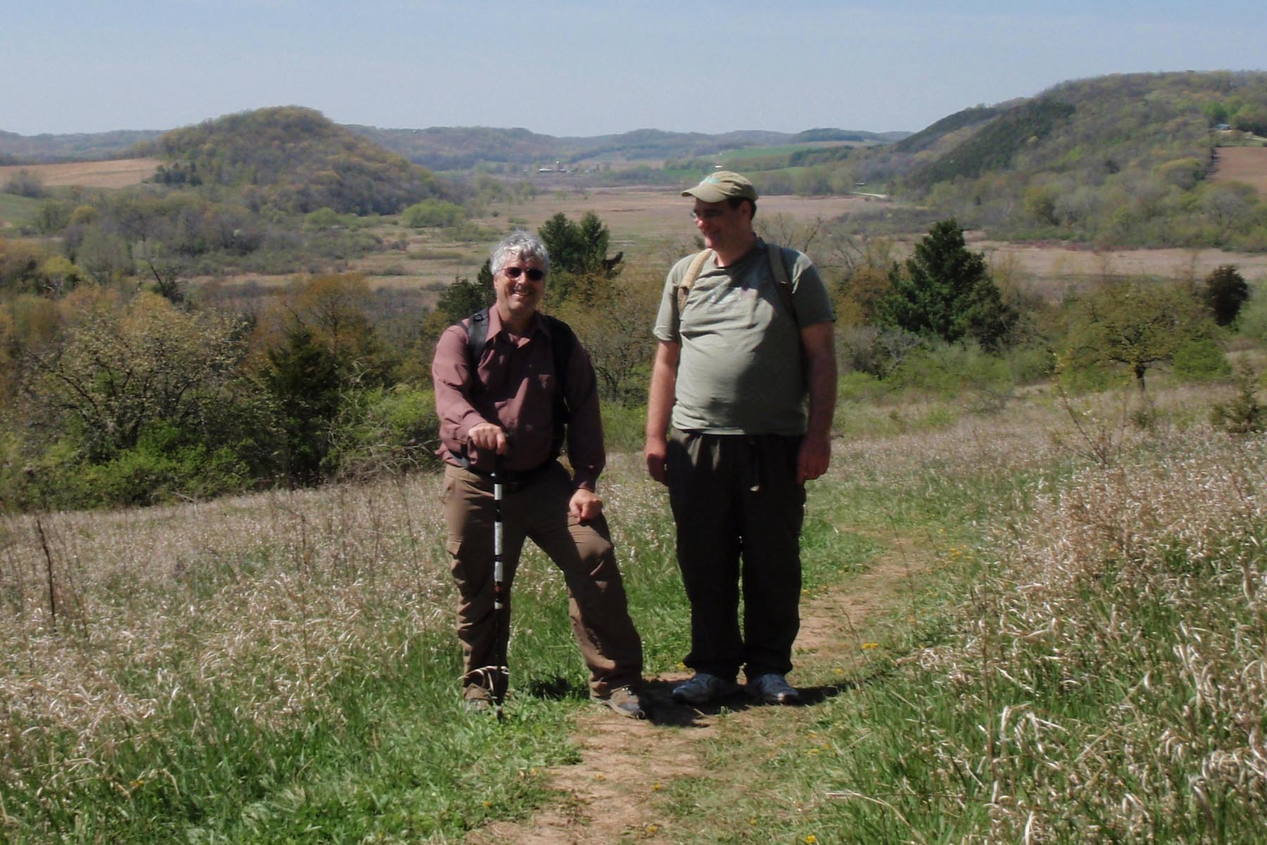
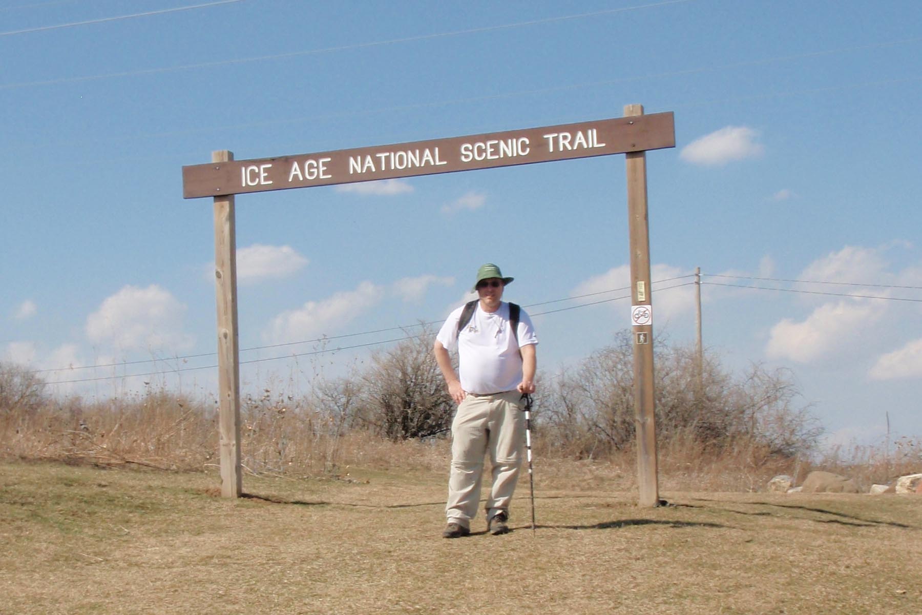
Photos of this Hike:  Hwy PD to Verona Photo Gallery


University Ridge Golf Course To Shoveler Sink Waterfowl Area

Trail Condition: It’s a mostly a Roadwalk except for two off road sections
Trail Difficulty: Easy with a few uphill sections
Length Hiked: 5.5 miles one way from the University Ridge Golf Course to
   the Shoveler Sink Waterfowl Area
Unusual Features: the Valley View Preserve
Hike Description: I hiked south on Woods Road to Midtown Road where I started hiking west. Eventually you get to a trail section along a subdivision and another Trail section in the Valley View Preserve.  Then you hike north on Timber Lane to Mineral Point Road where Shoveler Sink is located
Date Hiked: March 2012
Tman’s Additional Comment: The Valley View Preserve has some nice interpretive signs


Cross Plains to Table Bluff

Trail Difficulty: Major Uphill Sections going up from Cross Plains and at
Table Bluff, other than that it’s pretty easy
Length Hiked: 6 miles one way from the Ice Age Trail Office to Table Bluff where
we did the loop on top of the Bluff
Unusual Features: The Rock Formations at Table Bluff
Hike Description: We hiked about 6 blocks in Cross Plains the reached the Hickory Hill segment that immediately went up a hill to an overlook.  Then we hiked along the hill to a newly restored Oak Savanah, and reached a big field on top of Hickory Hill. Then we went down into some woods in a valley, then back on top of the hill.  We returned to Cross Plains using a different route.  Then it is a road walk out to Table Bluff where we hiked the new loop on top of the hill.
Date Hiked: March, 2012 with Bernard Gallenberg

Tman’s Additional Comment: Table Bluff is always a great hike, but watch out for the Alligator
For Photos of this Hike:  Cross Plains to Table Bluff Gallery

Lodi Marsh Segment

Tman and Bernard at the Lodi Marsh
Trail Difficulty: Moderate
Length Hiked: I hiked 7 miles
Unusual Features: Hiking through the town of Lodi
Hike Description: We started out near Lodi High School where we crossed a big trail bridge then when up a hill.  We left the grassy area and headed into some woods, coming out at a Lodi Park. We hiked through Lodi and went along a creek in the Veteran’s park.  Eventually we headed out of town and crossed some Lodi Canning Company Land. Then we hike uphill through some woods for a long time until we reached the top.  On the top of the hill we reached a big grassy hill with good view.  We then reached a field where we hiked down to the trailhead.  After the Trailhead, we actually hiked near the Marsh, then through an Oak Savannah.  We ascended a hill then hiked along the ridge during the loop section. Pretty soon we looped around to the bottom of the ridge and hiked back to the trailhead.
Date(s) Hiked: April, 2012 with Bernard Gallenberg, May, 2016 with Robert Chiesa
Tman’s Additional Comment: This should really be called the Lodi Bluff Segment because you are mostly hiking up on top of a big bluff