
Quick Tours
Now, instead of wading through thousands of photos of a trail that I’ve hiked, you can get just the highlights of the Trail. Then if you decide to hike the trail you can then study the larger galleries.
Kekekabic Trail Quick Tour Click Here
Border Route Trail Quick Tour Click Here
Superior Hiking Trail Quick Tours
Otter Lake Road to Judge CR Magney State Park Click Here
Judge CR Magney State Park To Grand Marais Click Here
Grand Marais to Lutsen Click Here
Lutsen to Temperance River State Park Click Here
Temperance River S.P. to Crosby Manitou S.P. Click Here
Crosby Manitou S. P. to Tettegouche S.P. Click Here
North Country Trail in North Central MN Quick Tours
Chippewa National Forest: Hwy 6 near Remer to the Woodtick Trail Click Here
Woodtick Trail to Waboose Lake Click Here
Waboose Lake to Hubbard County Hwy 4 Click Here
Hubbard County Hwy 4 to Itasca State Park – South Entrance Click Here
Itasca State Park – South Entrance to Clearwater County Hwy 39 Click Here
Clearwater Cty Hwy 39 to Green Water Lake SNA Click Here
Larger Galleries
Western Minnesota Road Walk
Rothsay to Fort Abercrombie (North Dakota Border) Click Here
Maplewood State Park to Rothsay Click Here
Maplewood State Park – Hwy 108 to Hwy 24 Click Here
Vergus to Maplewood State Park Click Here
Frazee to Vergus Click Here
Hwy 29/Otter Tail River to Frazee Click Here
Boundary Road to Hwy 29/Otter Tail River Click Here
North Central Minnesota:
Tamarac Wildlife Refuge, White Earth State Forest, Itasca State Park,
Paul Bunyan State Forest and Chippewa National Forest
Tamarac: Old Indian Trailhead to Boundary Road Click Here
Tamarac: 400th Ave to the Old Indian Trailhead Click Here
Green Water Lake to 400th Ave Click Here
Elbow Lake Road to Greenwater Lake State Natural Area Click Here
White Earth State Forest: Clearwater County Hwy 39 to Elbow Lake Road Click Here
Anchor Matson Road to Clearwater County Hwy 39 Click Here
Itasca State Park: South Entrance to Anchor Matson Road Click Here
Spider Lake Road to Itasca State Park South Entrance Click Here
Hubbard County 4 to Spider Lake Road Click Here
Hubbard County Hwy 91 to Hubbard County Hwy 4 Click Here
Paul Bunyon State Forest: Refuge Road to Hubbard County Hwy 91 Click Here
Paul Bunyon State Forest: Waboose Lake to Refuge Road Click Here
Paul Bunyon State Forest: MN Hwy 64 to Waboose Lake Click Here
Chippewa National Forest: Shingobee Recreation Area to MN Hwy 64 Click Here
Chippewa National Forest: Woodtick Trail (First Crossing) to the Shingobee Recreation Area Click Here
Chippewa National Forest: Woodtick Trail (Third Crossing) to Woodtick Trail (First Crossing) Click here
Chippewa National Forest: Highway 84 (North of Longville) to Woodtick Trail (Third Crossing) Click Here
Chippewa National Forest: Mabel Lake Road to Highway 84 (north of Longville) Click Here
Chippewa National Forest: Highway 6 (northwest of Remer) to Mabel Lake Road Click Here
North Central Minnesota: Remer to Ely
Remer to Grand Rapids Click Here
Mesabi Trail – Grand Rapids to Taconite (including Coleraine and Bovey) Click Here
Mesabi Trail – Taconite to Nashwauk (including Marble and Calument) Click Here
Mesabi Trail – Nashwauk to Hibbing (including Keewatin, Kelly Lake, Leetonia and Kerr) Click Here
Mesabi Trail – Hibbing to Kinney Trailhead (including Chisholm and Buhl) Click Here
Mesabi Trail – Kinney Trailhead to Virginia (including Mountain Iron) Click Here
Mesabi Trail – Virginia to McKinley Trailhead (including Gilbert) Click Here
Mesabi Trail – McKinley Trailhead to Hwy 135 Trailhead (including Biwabik and Giant Ridge) Click Here
Hwy 135 Roadwalk to Tower Click Here
Mesabi Trail – Tower, Soudan and Lake Vermillion Segments Click Here
Roadwalk West of Ely Click Here
Mesabi Trail thru Ely Click Here
Kekekabic Trail
Ely to the Gunflint Trail Click Here
Border Route Trail
Gunflint Trail to Otter Lake Road
Magnetic Rock to the Gunflint Lodge Click Here
Gunflint Lodge to Clearwater Lodge (Daniels Lake Access Trail) Click Here
Daniels Lake Access Trail to Lake Gogebic Click Here
Lake Gogebic to West Pike Lake/Pine Lake Portage Click Here
West Pike Lake Portage to Arrowhead Trail Click Here
Arrowhead Trail to the Otter Lake Cutoff Click Here
Otter Lake Cutoff to Eastern End of Trail (Otter Lake Road) Click Here
Superior Hiking Trail
Otter Lake Road to Wisconsin
Otter Lake Road to Jackson Lake Road Click Here
Jackson Lake Road to the Arrowhead Trail Click Here
Arrowhead Trail to Hwy 70 Click Here
Hwy 70 to Magney Parking Lot Click Here
Magney Parking Lot to Lakewalk Click Here
The Lakewalk Click Here
The Lakewalk to the Kadunce Wayside Click Here
Kadunce Wayside to Hwy 14 Click Here
Hwy 14 to Hwy 58 Click Here
Hwy 58 to Pincushion Mtn Trailhead Click Here
Pincushion Mtn Trailhead to Tower Road Click Here
Tower Road to the Caribou Trail (Hwy 4) Click Here
Caribou Trail to the East Poplar Campsite Click Here
East Poplar River Campsite to the Lutsen Mountains Bridge Click Here
Lutsen Mountains Bridge to Oberg Mountain Click Here
Oberg Mountain Loop Click Here
Oberg Mountain Trailhead to West Leveau Campsite Click Here
West Leveau Campsite to the Britton Peak Trailhead Click Here
Britton Peak Trailhead to the Temperance River Bridge (including Carlton Peak) Click Here
Temperance River Bridge to the South Cross River Campsite Click Here
South Cross River Campsite to Cook County Hwy 1 Click Here
Cook County Hwy 1 to Sugarloaf Road Click here
Sugarloaf Road to the Caribou Wayside Click Here
Caribou Wayside to Crosby Manitou State Park Click Here
Crosby Manitou State Park to Finland Click Here
Finland to Cook County Hwy 6 Click Here
Lake County Hwy 6 to MN State Hwy 1 Click Here
MN State Hwy 1 to Tettegouche State Park Click Here
Tettegouche State Park to Mt Trudee Click Here
Mt Trudee to the Bear Lake Campsite Click Here
Bear Lake Campsite to Silver Bay Click Here
Silver Bay to Beaver Bay Click Here
Beaver Bay to Split Rock State Park (Northern Loop Connection) Click Here
Split Rock Loop Click Here
Split Rock State Park (Southern Loop Connection) to Gooseberry Falls State Park Click Here
Gooseberry Falls State Park to Castle Danger Rd Click Here
Castle Danger Road to Fors Road, Click Here
Fors Road to Reeves Road (Hwy 2) Click Here
Reeves Road (Hwy 2) to the Lake County Demonstration Forest Click Here
Lake County Demonstration Forest to Rossini Road with Jared Wildenradt Click Here
Rossini Road to Fox Farm Road With Jared Wildenradt Click Here
Fox Farm Road to the Sucker River Trailhead With Jared Wildenradt Click Here
Sucker River Trailhead to Normanna Road With Jared Wildenradt Click Here
Normanna Road to Lismore Road With Jared Wildenradt Click Here
Lismore Road to Martin Road with Jared Wildenradt, Will Luedtke and Gloria Luedtke Click Here
Martin Road to Duluth Lift Bridge with Jared Wildenradt and Will Luedtke Click Here
Duluth Lift Bridge to Getchall/Highland with Jared Wildenradt and Will Luedtke Click Here
Getchall/Highland to Spirit Mountain with Jared Wildenradt and Will Luedtke Click Here
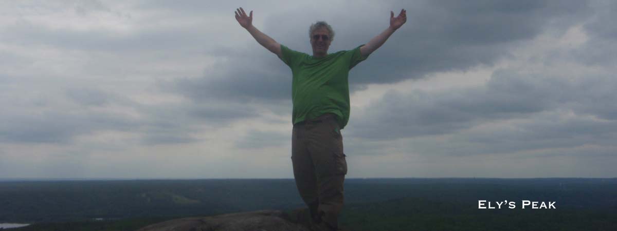
Spirit Mountain to Ely’s Peak with Jared Wildenradt and Will Luedtke Click Here
Ely’s Peak to Jay Cooke State Park with Jared Wildenradt Click Here
Jay Cooke Swinging Bridge to Wild Valley Road Click Here
Wild Valley Road to MacQuarrie – West Entrance Click Here
Continuing on the North Country Trail in Wisconsin
MacQuarrie Wetlands – West to East Click Here
MacQuarrie – East to Pattison State Park – North Click Here
Pattison State Park – North to South Click Here
Pattison State Park – South to the corner of Hwy A & Jackson Box Road Click Here